Delivering innovative engineering solutions for the evolving electric infrastructure landscape—from individual assets to system-wide networks—through advanced analysis, practical expertise, and scalable execution.
Western Frontier Engineering delivers engineering solutions for utility infrastructure at every scale. Our team supports projects ranging from individual pole replacements and joint-use make-ready designs to large transmission and distribution programs, asset management initiatives, and system-wide network analysis. By combining engineering expertise advanced modeling and digital twin technologies, we help clients evaluate existing infrastructure, plan future investments, improve reliability, and execute projects with confidence.
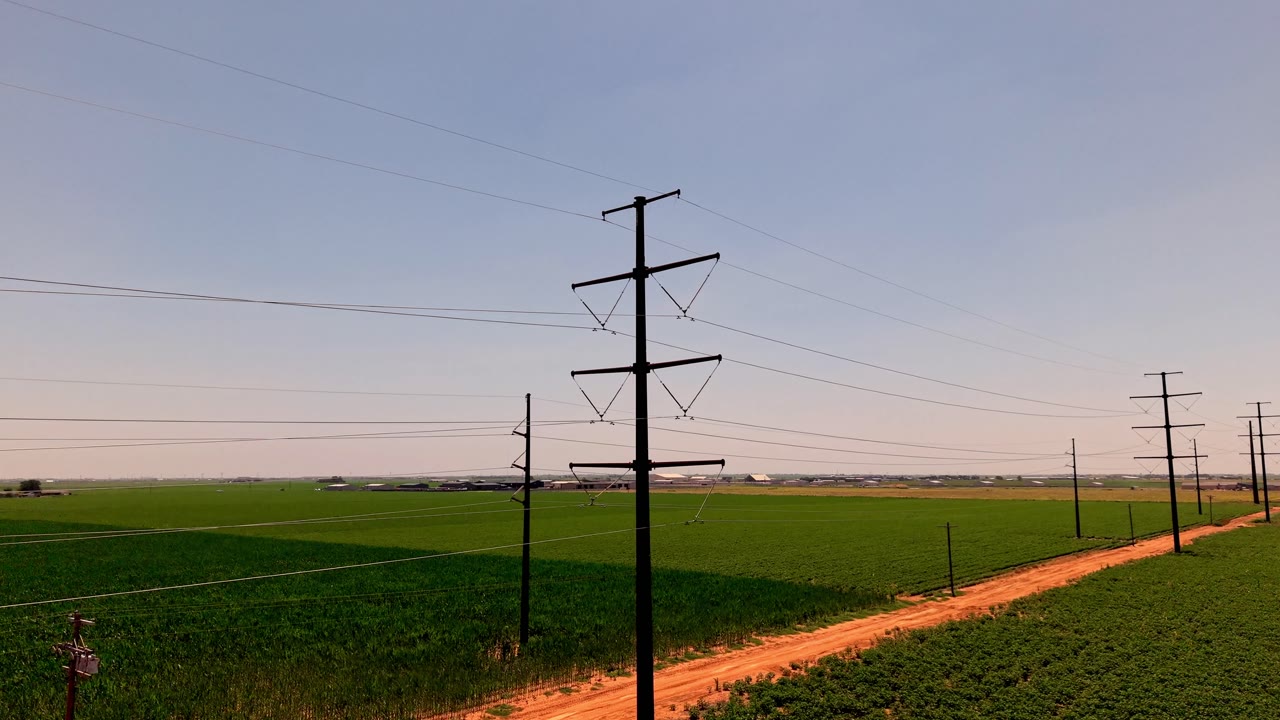
Providing end-to-end transmission engineering solutions, from route selection and right-of-way development to detailed engineering, construction packages, and final as-built documentation.
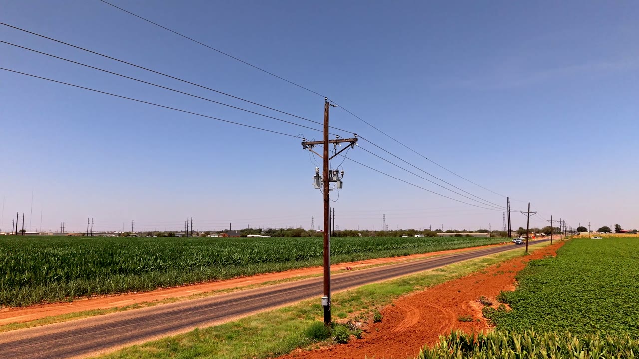
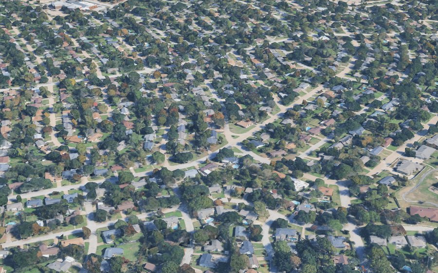
Engineering services covering greenfield/brownfield designs, joint-use assessments, make-ready packages, weather hardening, and other infrastructure initiatives.
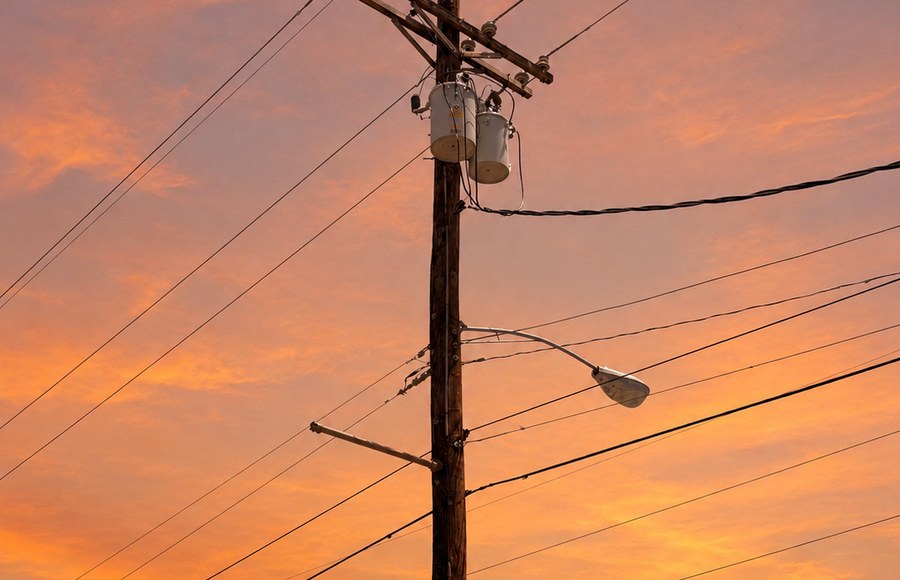
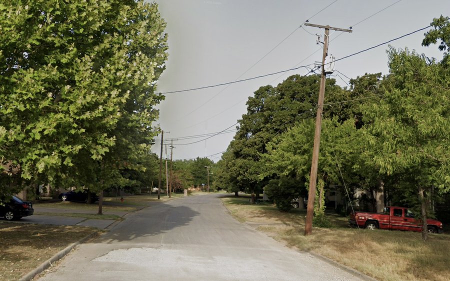
Application support, Pole loading analysis, clearance assessments, make-ready determinations, and utility review/ coordination.
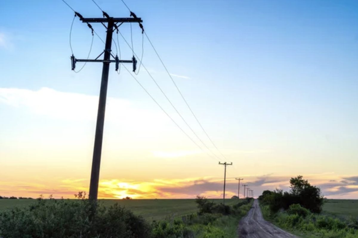
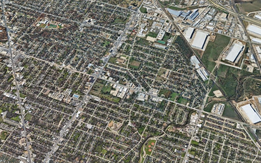
System wide physics based digital twin modeling — pole loading, clearance, vegetation, line rating, and resiliency analysis across your entire system at once.
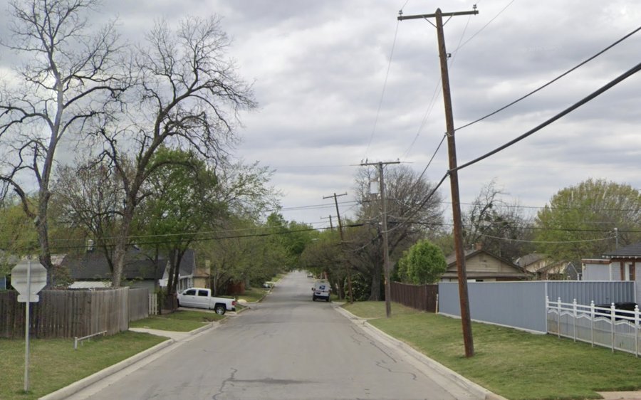
Most engineering firms assess your grid one structure at a time. We model your entire network at once — building a survey-grade digital twin from high-resolution LiDAR that captures every conductor, structure, and stretch of vegetation across thousands of miles of line.
That system-wide visibility surfaces clearance encroachments, structural outliers, GIS errors, and resiliency risks that traditional structure-by-structure workflows miss entirely. We run pole loading, clearance, vegetation, line rating, and resiliency analysis against the actual modeled state of your system — not a sampled subset.
The result: we can tell you which 200 of your 50,000 structures need attention, then do the engineering that proves it, fixes it, and gets the seal on the page.
We build and interpret a complete digital model of your network, own the analytical layer, and produce all client-facing engineering reports and deliverables.

We start with high-resolution aerial LiDAR of your network, then ingest and classify the raw point cloud — separating conductors, structures, vegetation, and ground into a clean, survey-grade dataset ready for modeling.

Using advanced modeling algorithms, we build a precise 3D digital twin of your system — then run rigorous QA/QC against your GIS records and field data to confirm every structure and span is accurate before analysis begins.

We run system-wide finite element analysis, vegetation management assessment, and clearance and structural checks across thousands of assets at once — then rank the results so you know exactly which structures need attention first.

Every analysis is translated into PE-stamped engineering deliverables and reviewed by our licensed engineers — defensible documentation ready for regulators, lenders, and your capital planning team.
WFE holds professional engineering licenses across the country, enabling us to serve Electric Service Providers and utility clients wherever the work demands — from Texas to the Pacific Northwest.
* Hover any state to see its name. Contact us to confirm licensure for your specific project location.
Have a project or question? Send us the details and our team will follow up.